
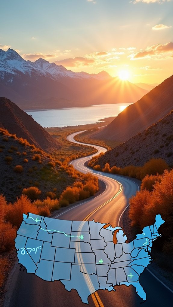
Like Goldilocks seeking the perfect porridge temperature, many travelers dream of road trips without weather extremes. Climatologist Brian Brettschneider has turned this fantasy into reality with his meticulously designed U.S. routes that maintain a consistent 70°F year-round. His three path options—coastal, interior, and combined—leverage historical temperature data to create expeditions where travelers needn’t pack for multiple seasons. These scientific itineraries might just transform how Americans experience their country’s diverse landscapes.
The Science of Perfect-Weather Road Trips
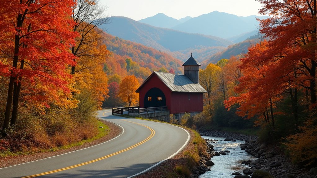
While many travelers focus on destinations and attractions when planning their cross-country escapades, the weather along America’s vast network of highways can make or break the perfect road trip experience. From the blistering heat of southwestern deserts to the bone-chilling winters of the northern states, America’s diverse climate zones present both challenges and opportunities for road trippers seeking comfort on their expeditions.
Enter Brian Brettschneider, a climatologist who’s transformed the concept of the American road trip by designing routes that maintain a consistent 70°F temperature year-round. His innovative maps, which have captured the imagination of weather-conscious wanderers across the country, offer three distinct options: a coastal route from Tampa to San Diego, an interior path beginning in Corpus Christi, and an ambitious combined route that even ventures into Canada and Alaska.
Follow Brettschneider’s perfect-temperature paths across America, from coastal highways to Canadian adventures—genius cartography for the weather-wary traveler.
The genius of Brettschneider’s approach lies in its simplicity—by following these carefully plotted courses, travelers can pack light, drive comfortably, and focus on enjoying America’s spectacular landscapes without worrying about extreme weather gear or seasonal limitations. The consistency of pleasant temperatures opens up possibilities for longer drives and more accessible destinations that might otherwise be unbearable during certain months.
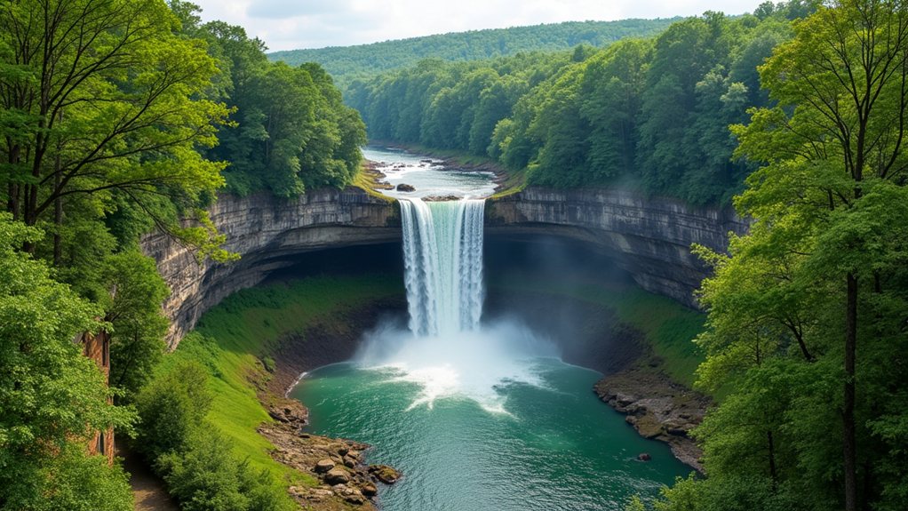
Modern technology has made weather-conscious road tripping easier than ever. Apps like Dark Sky and Weather Underground provide real-time forecasts, while historical weather data helps anticipate regional patterns across the country’s varied topography. Mountain ranges, coastal areas, and desert regions create localized weather conditions that smart travelers can navigate with proper planning and alternative routes at the ready. For those seeking both natural beauty and comfortable temperatures, destinations like Kahuna Falls in Hawaii offer stunning waterfalls and hiking trails without extreme weather concerns.
America’s geographical diversity means that pleasant driving weather is always available somewhere within its borders. This scientifically calculated itinerary takes travelers through national parks and scenic landscapes at precisely the right times to experience ideal conditions. The 2023 updated map uses 1991-2020 temperature averages to ensure the most accurate weather predictions for today’s travelers. This Alaska-based scientist’s work has been shared 20 million times, demonstrating its tremendous appeal to road-trip enthusiasts. Whether hugging the scenic coastlines, traversing the heartland, or winding through mountain passes, road trippers armed with Brettschneider’s weather wisdom can now experience the freedom of the open road without battling the elements.
For those seeking both adventure and comfort, these temperature-perfect routes represent the ultimate road trip hack—America’s highways at their most hospitable.